For more photos of past events, visit the Facebook page link on the main page.


 |
| Garmin 310xt Stats |
 |
| USATF Drawing |
 |
| From the Aid station looking out |
 |
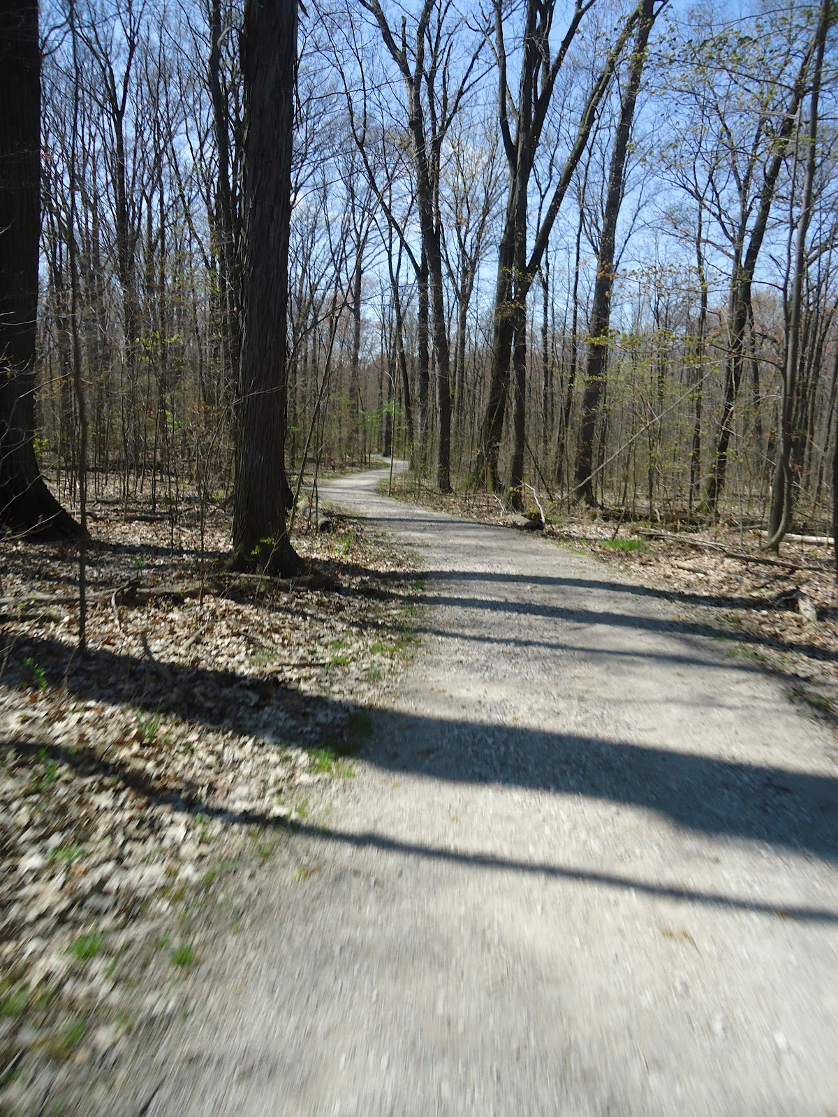
| Section 1 |
 |
| Section 1 Crossing Trail |
 |
| Heading into the Section 1 |
 |
| Section 2 |
 |
| Section 2 Crossing trail |
 |
| Bottom of the hill |
 |
| Hill |
 |
| top of hill |
 |
| rolling hills |
 |
| downhill |
 |
| downhill |
 |
| downhill |
 |
| Last turn to to the aid station |
 |
| on the way to aid station |
 |
| turn right into aid station |
 |
| Camping allowed to the right (west) of the pavilion. Firewood, fireplace, electronics outlets, picnic tables, etc... |
 |
| Counter and outlets in the pavilion. |
 |
| Historic notes on another area in the park. |
 |
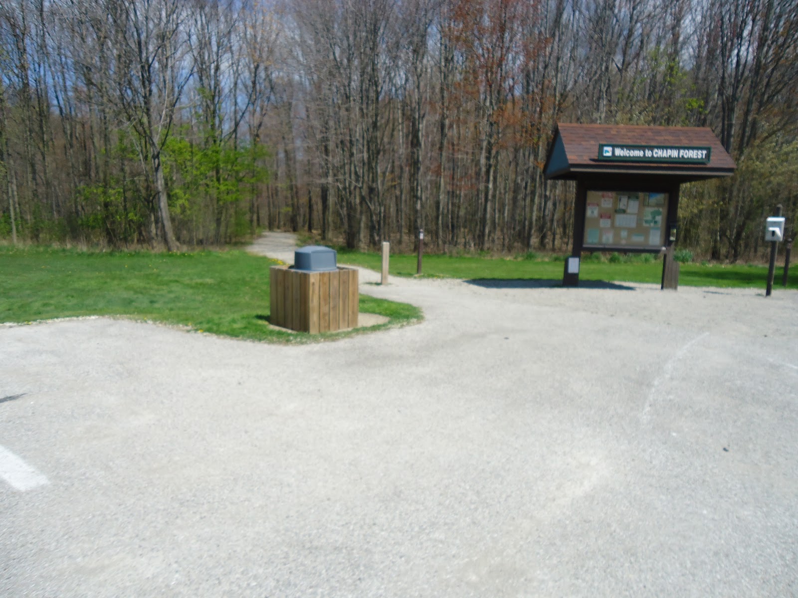
| Parking area. Parking will be tight. |
 |
| The Lodge. Registration, Start, Aid, Finish, and the fire-pit are all here. |
 |
| start line |
Hill? Wait a minute!
ReplyDeleteSo it's April 4 now and I still see snow in the photos. WTH? lol
ReplyDelete